DARJEELINGHimalayan field notes
TRAVELBEYONDTHE USUAL TRAIL
Clear routes and quieter places across Darjeeling, Kalimpong, Mirik, Sittong, Dooars and the villages between.
Explore destinationsPlan your North Bengal trip →002,045
TEA GARDENS CLOUD FORESTS RIVER VALLEYS MOUNTAIN ROADS TEA GARDENS CLOUD FORESTS
01 / A region in layers
Not a list.
A living terrain.
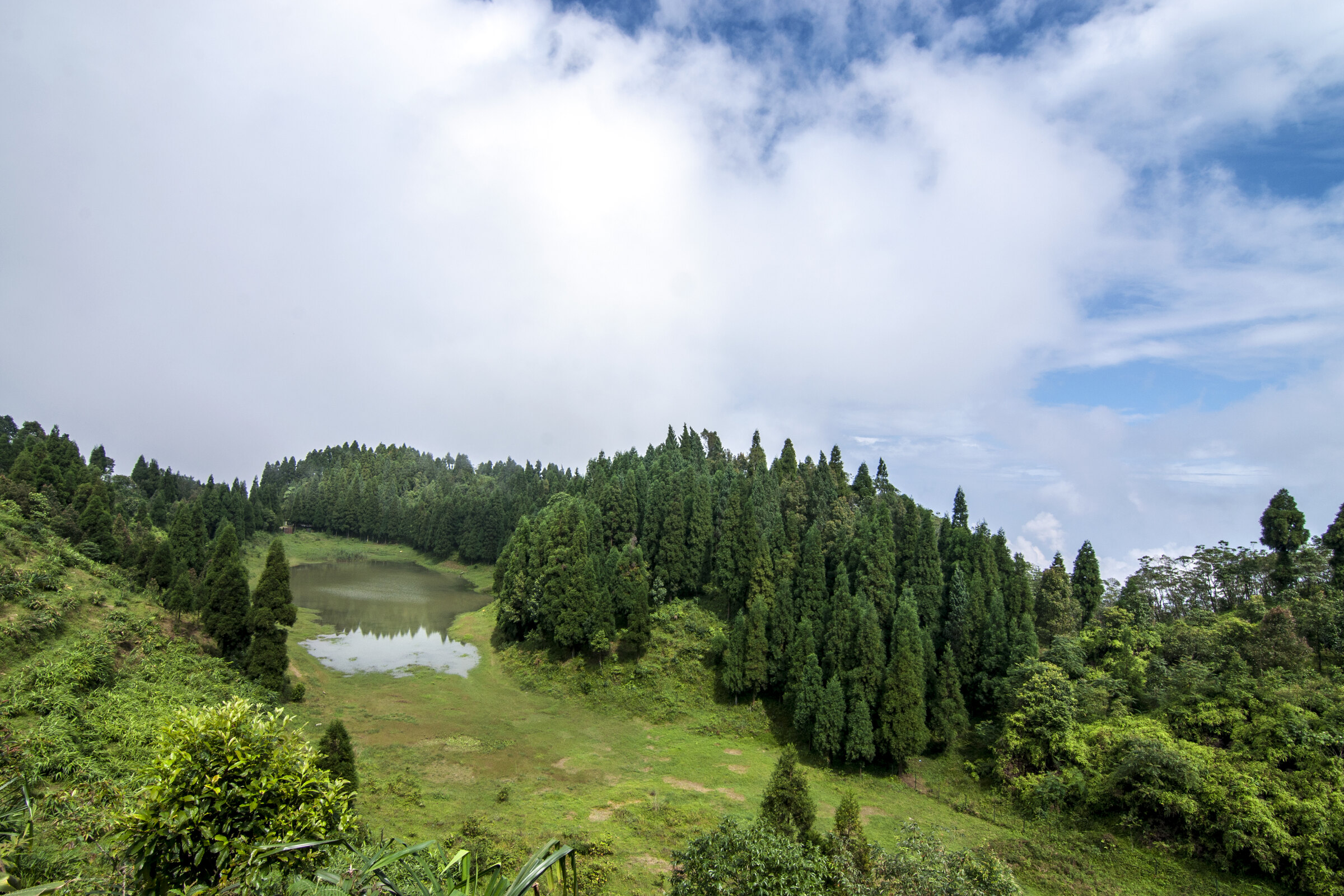
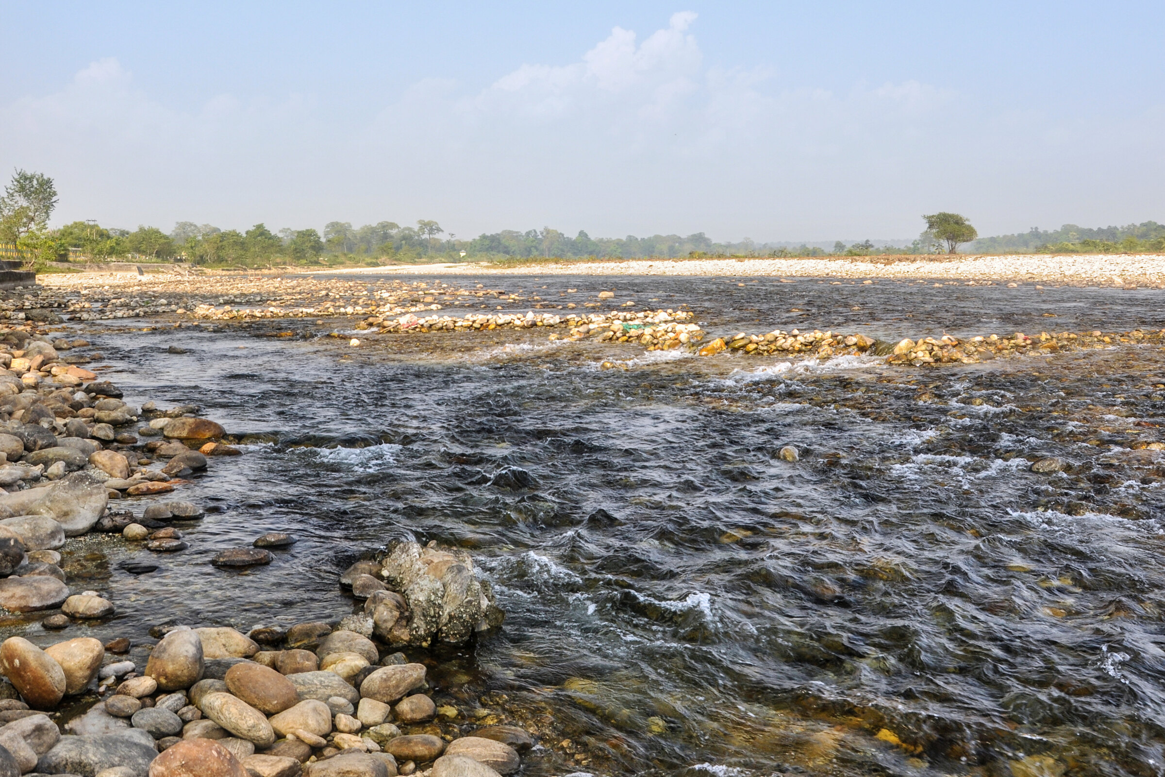
North Bengal changes every few kilometres. The plains lift into tea gardens; tea gives way to pine; familiar roads disappear into mist. This atlas is designed around those transitions.
Open the destination atlas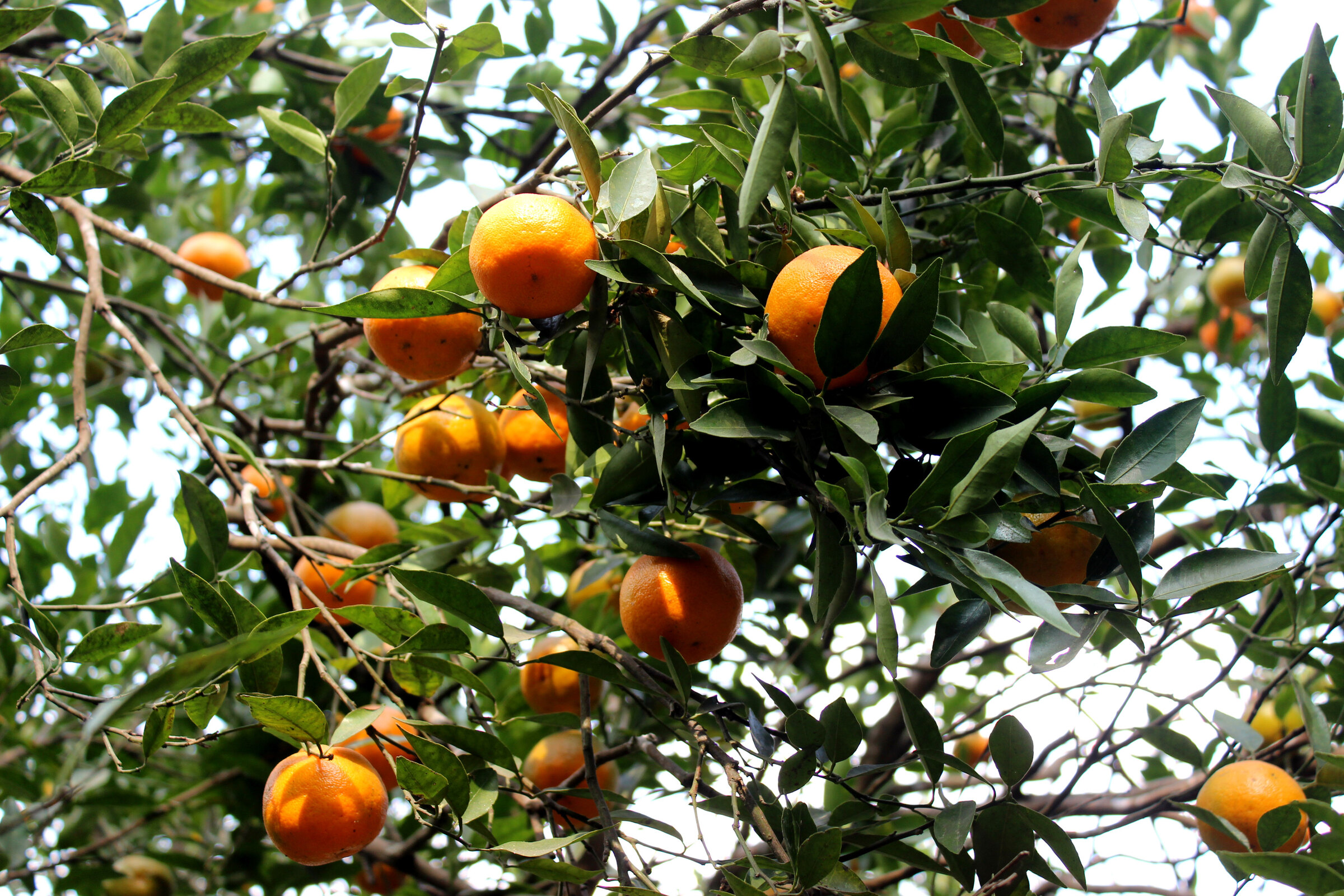
Orchard belt
Citrus / villages / soft light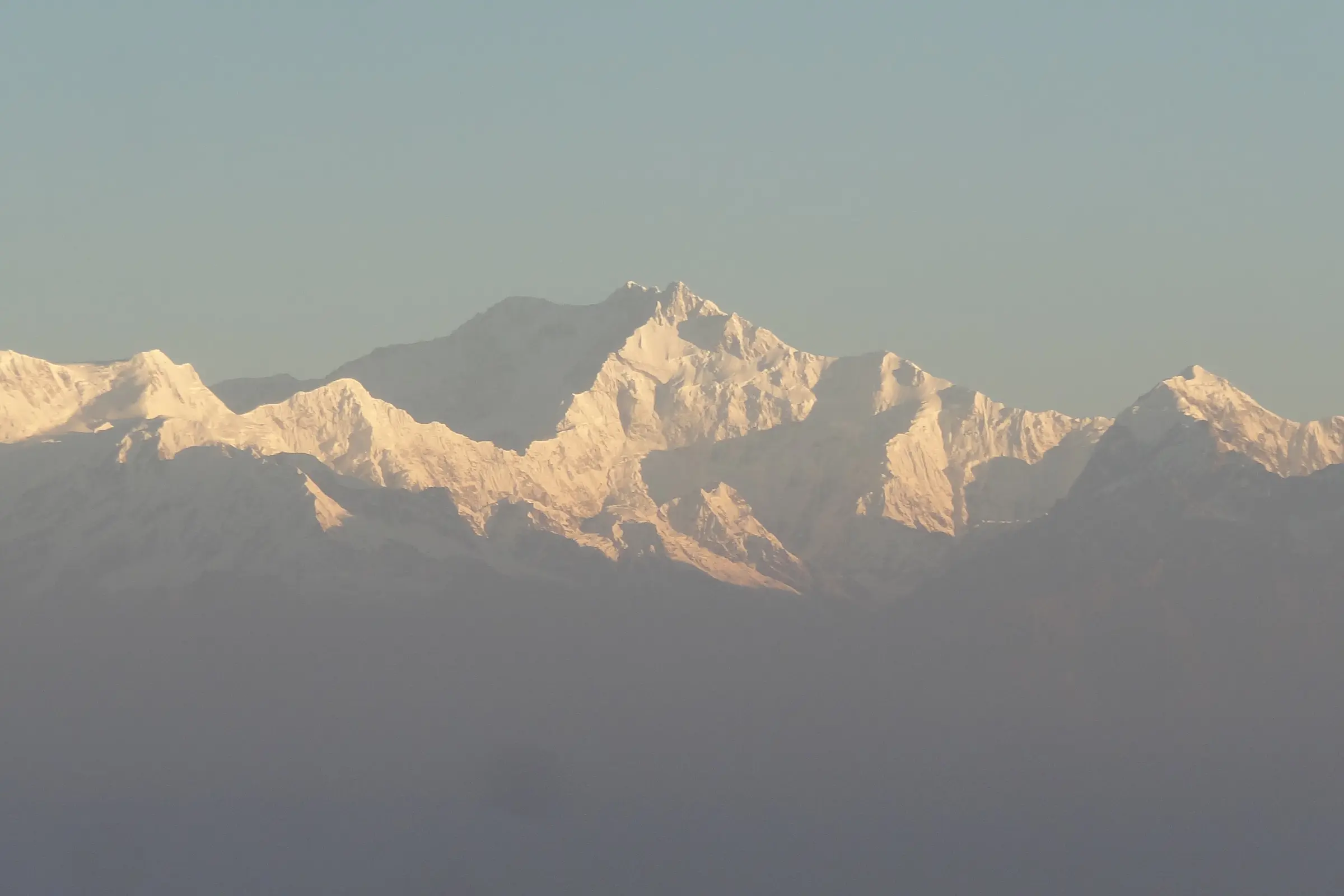
Cloud line
Pine / silence / distant peaks02 / Choose a coordinate
Four doors into
the eastern hills.
Click a name to move the landscape.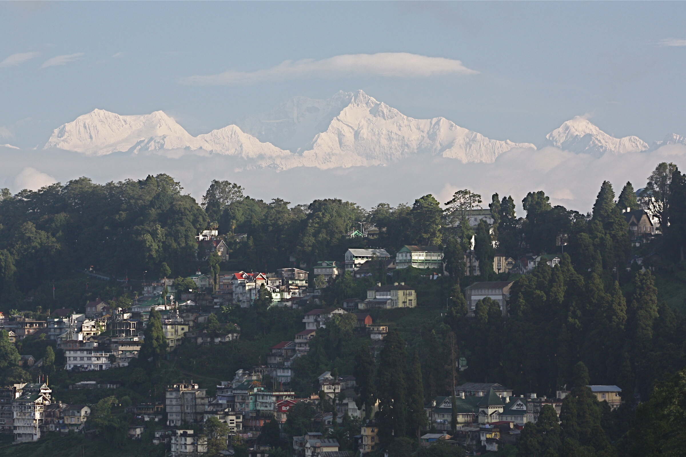
Tea / Heritage
Darjeeling
Heritage streets, sunrise ridges and tea gardens folding into cloud.
Altitude2,045 m
Explore place 03 / A four-beat journey
Watch the road
change character.
Bagdogra
The warm plain
Mirik
Lake and tea
Sittong
Orchard roads
Darjeeling
The high ridge