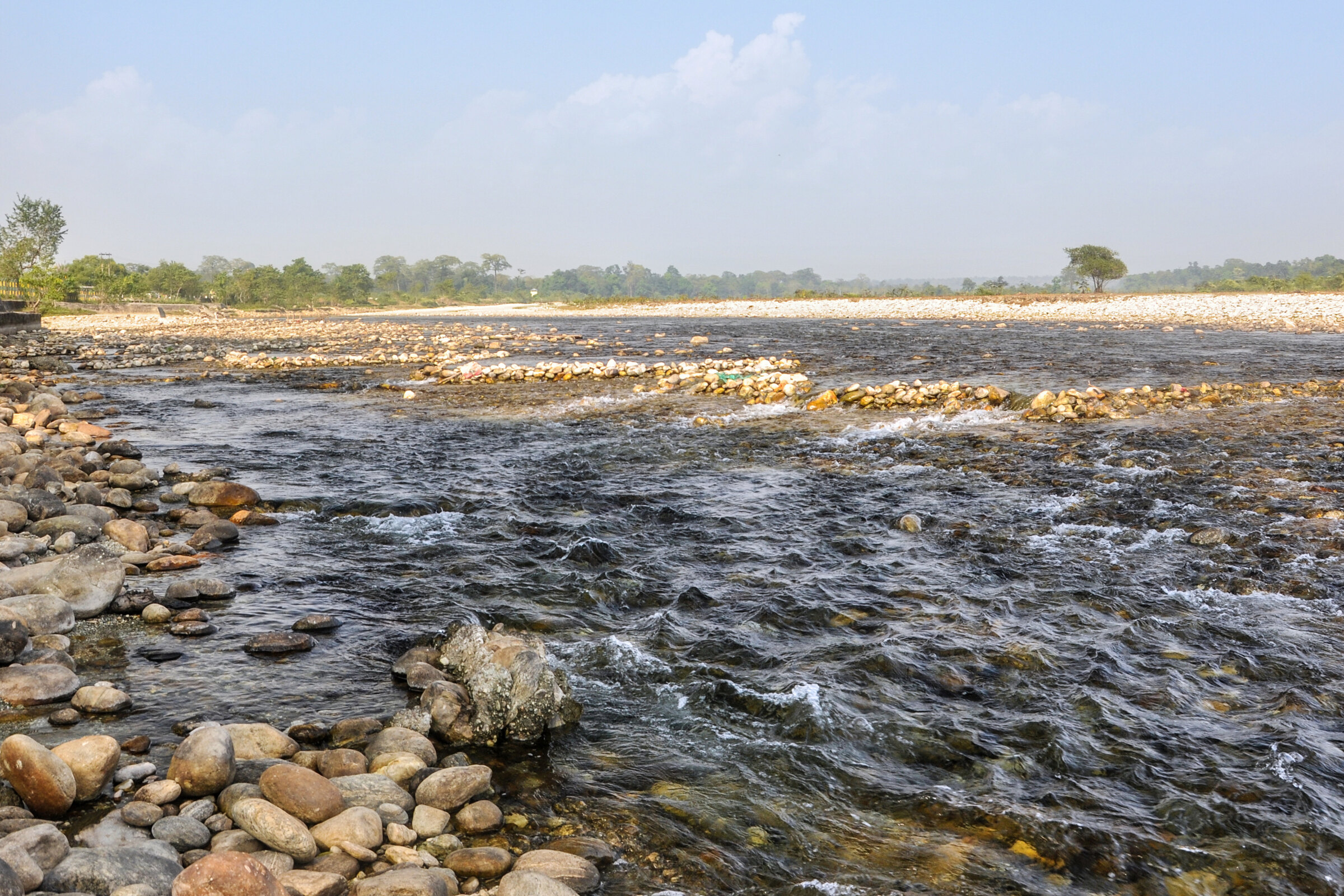
Bindu is best experienced as part of a Jhalong–Bindu–Samsing circuit, with time for the river valley rather than a hurried photo stop.
Trip intelligence / checked August 2026
At a glance
A destination guide for the Bindu–Jhalong–Jaldhaka circuit and its border-valley setting.
- Landscape
- River, hills and forest edge
- Pairs with
- Jhalong and Jaldhaka
- Important
- Border and dam rules
Why Bindu belongs on a Dooars itinerary
Bindu sits at the far end of a scenic Dooars road beside the Jaldhaka River and Bhutan hills. The journey through forest and river valleys is as important as the road-end viewpoint itself.
Build a Bindu–Jhalong day
Combine the river scenery with Jhalong and nearby valley stops, allowing time for checkpoints and unplanned pauses.
- Watch the river and Bhutan hills from permitted areas
- Stop at Jhalong and Jaldhaka viewpoints
- Look for birds without approaching forest edges alone
Access, best season and boundaries
October to March is generally comfortable for a Dooars road trip. Monsoon can change river behaviour and forest access. The barrage and border landscape may have photography or movement restrictions; follow signs and security instructions without argument.
Plan with live local context
Before you set out
Border sensitivity, dam operations and monsoon weather can affect access. Respect signs and check local conditions before setting out.
Mountain-road timing, access rules and fares can change after weather or road work. Reconfirm the final approach with your stay, driver or the relevant local authority shortly before travel.
Frequently asked questions
Is Bindu the last village of West Bengal?+
It is commonly described that way on the Bhutan-border road, but the phrase is a route-specific tourism label rather than a unique official state title.
Can Bindu and Jhalong be visited together?+
Yes. They are usually planned as one circuit, with the exact order based on your Dooars base and road condition.